- Home
- About INAFSM
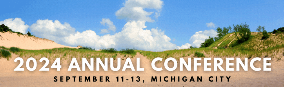
- Annual Conference
- Committees
- Training & Resources
- Scholarships
- My CEUs
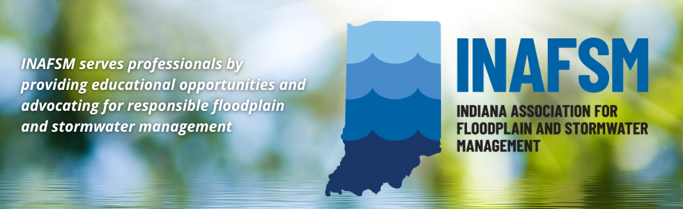

Welcome to INAFSMThe Indiana Association for Floodplain and Stormwater Management was founded in 1996 by professionals interested in and responsible for floodplain and stormwater management in the State of Indiana. INAFSM members include federal, state, and local agency staff, engineers, consultants, planners, elected officials, members of academia, students, and floodplain residents. We offer continuing education through various events including our annual conference and other events such as high water mark training. Click here to learn about continuing education credits that can be earned at INAFSM events. |
Our Sponsors